 vesseltracker.com
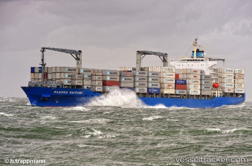
Vessel Em Corfu IMO: 9231494, MMSI: 538007209 Container Ship
UTC, 9.72483, -79.65399, course: 67, speed: 10.5
UTC, 9.77511, -79.41330, course: 94, speed: 10.1
2026-02-08 23:49:52 UTC, 9.73123, -79.00089, course: 90, speed: 9.9
Live AIS position:
UTC. 13 nm N of Tubualá),
updated 2026-02-08 23:49:52 UTC.
Find the position of the vessel Em Corfu on the map. The latter are known coordinates and path.
marine traffic ship tracker show on live map
The current position of vessel Em Corfu is 9.73123 lat / -79.00089 lng. Updated: 2026-02-08 23:49:52 UTCDetails:
Last coordinates of the vessel:
UTC, 9.53632, -79.82840, course: 26, speed: 9.1UTC, 9.72483, -79.65399, course: 67, speed: 10.5
UTC, 9.77511, -79.41330, course: 94, speed: 10.1
2026-02-08 23:49:52 UTC, 9.73123, -79.00089, course: 90, speed: 9.9