 vesseltracker.com
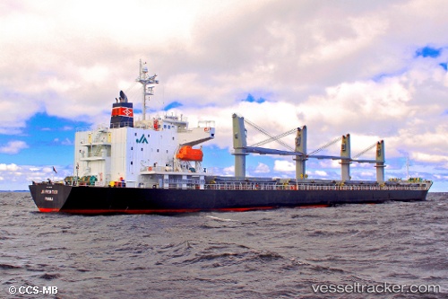
Vessel Emerald Bay IMO: 9385075, MMSI: 235102768 Bulk Carrier
UTC, 55.85500, -22.93500, course: -1, speed: 11
UTC, 55.71667, -23.50667, course: -1, speed: 11
2026-02-11 04:18:29 UTC, 55.55500, -24.21666, course: -1, speed: 11
Live AIS position:
UTC. 138 nm SE of Balvi),
updated 2026-02-11 04:18:29 UTC.
Find the position of the vessel Emerald Bay on the map. The latter are known coordinates and path.
marine traffic ship tracker show on live map
The current position of vessel Emerald Bay is 55.55500 lat / -24.21666 lng. Updated: 2026-02-11 04:18:29 UTCCurrently sailing under the flag of United Kingdom
Emerald Bay built in 2008 year
Deadweight:
32258 tDetails:
Last coordinates of the vessel:
UTC, 56.00968, -22.26915, course: 247, speed: 11.5UTC, 55.85500, -22.93500, course: -1, speed: 11
UTC, 55.71667, -23.50667, course: -1, speed: 11
2026-02-11 04:18:29 UTC, 55.55500, -24.21666, course: -1, speed: 11