 vesseltracker.com
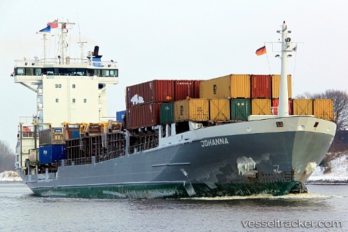
Vessel Emilia IMO: 9197521, MMSI: 304846000 Container Ship
UTC, 36.50223, -6.26248, course: 138, speed: 0
UTC, 36.50225, -6.26246, course: 137, speed: 0
2026-02-11 00:09:00 UTC, 36.50224, -6.26246, course: 137, speed: 0
Live AIS position:
UTC. Near Cadiz),
updated 2026-02-11 00:09:00 UTC.
Find the position of the vessel Emilia on the map. The latter are known coordinates and path.
marine traffic ship tracker show on live map
The current position of vessel Emilia is 36.50224 lat / -6.26246 lng. Updated: 2026-02-11 00:09:00 UTCCurrently sailing under the flag of Antigua Barbuda
Emilia built in 1999 year
Deadweight:
7131 tDetails:
Last coordinates of the vessel:
UTC, 36.50167, -6.26167, course: -1, speed: 0UTC, 36.50223, -6.26248, course: 138, speed: 0
UTC, 36.50225, -6.26246, course: 137, speed: 0
2026-02-11 00:09:00 UTC, 36.50224, -6.26246, course: 137, speed: 0