 vesseltracker.com
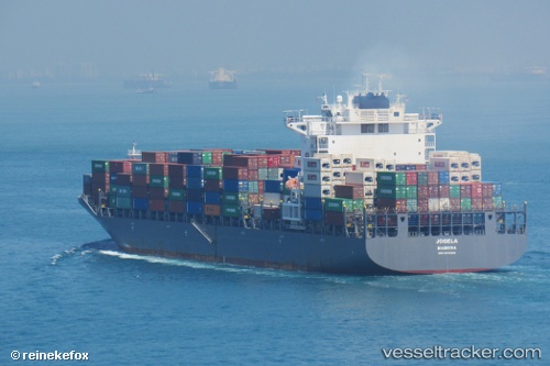
Find the position of the vessel Emirates Asante on the map. The latter are known coordinates and path.
marine traffic ship tracker show on live map
The current position of vessel Emirates Asante is -23.52529 lat / 110.99564 lng. Updated: 2025-11-04 03:35:28 UTCDetails:
Last coordinates of the vessel:
UTC, -22.95331, 110.78715, course: 161, speed: 14.5UTC, -23.08239, 110.83838, course: 161, speed: 14.5
UTC, -23.26347, 110.90251, course: 161, speed: 14
2025-11-04 03:35:28 UTC, -23.52529, 110.99564, course: 161, speed: 13.7