 vesseltracker.com
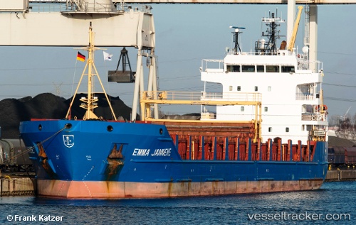
Find the position of the vessel Emma Janneke on the map. The latter are known coordinates and path.
marine traffic ship tracker show on live map
The current position of vessel Emma Janneke is 40.845 lat / 29.2509 lng. Updated: 2023-01-03 10:07:00 UTCCurrently sailing under the flag of Gibraltar
Emma Janneke built in 2006 year
Deadweight:
6399 tDetails:
Last coordinates of the vessel:
2023-01-03 10:07:00 UTC, 40.845, 29.2509, course: 304, speed: 0