 vesseltracker.com
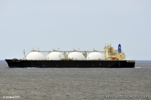
Vessel Energy Frontier IMO: 9245720, MMSI: 432420000 Lng Tanker
Live AIS position:
UTC. Near Sipitang),
updated 2025-05-28 03:03:10 UTC.
Find the position of the vessel Energy Frontier on the map. The latter are known coordinates and path.
marine traffic ship tracker show on live map
The current position of vessel Energy Frontier is 5.13136 lat / 115.37964 lng. Updated: 2025-05-28 03:03:10 UTCDetails:
Last coordinates of the vessel:
2025-05-28 03:03:10 UTC, 5.13136, 115.37964, course: 359, speed: 0.1