 vesseltracker.com
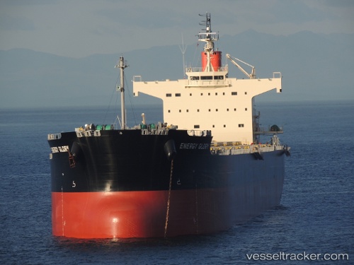
Vessel Energy Glory IMO: 9518074, MMSI: 351260000 Bulk Carrier
UTC, -29.90510, 9.15930, course: 123, speed: 13.2
UTC, -30.11500, 9.53833, course: -1, speed: 12
2026-01-30 16:21:02 UTC, -30.36773, 9.99325, course: 123, speed: 12.6
Live AIS position:
UTC. 352 nm SW of Luderitz Bay),
updated 2026-01-30 16:21:02 UTC.
Find the position of the vessel Energy Glory on the map. The latter are known coordinates and path.
marine traffic ship tracker show on live map
The current position of vessel Energy Glory is -30.36773 lat / 9.99325 lng. Updated: 2026-01-30 16:21:02 UTCCurrently sailing under the flag of Panama
Energy Glory built in 2013 year
Deadweight:
82123 tDetails:
Last coordinates of the vessel:
UTC, -29.65536, 8.72031, course: 122, speed: 13UTC, -29.90510, 9.15930, course: 123, speed: 13.2
UTC, -30.11500, 9.53833, course: -1, speed: 12
2026-01-30 16:21:02 UTC, -30.36773, 9.99325, course: 123, speed: 12.6