 vesseltracker.com
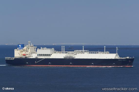
Vessel Energy Liberty IMO: 9736092, MMSI: 431540000 Lng Tanker
UTC, -17.01500, 118.75167, course: -1, speed: 12
UTC, -16.59166, 119.00500, course: -1, speed: 13
2026-01-31 14:22:41 UTC, -16.20333, 119.17333, course: -1, speed: 10
Live AIS position:
UTC. 202 nm NW of Broome),
updated 2026-01-31 14:22:41 UTC.
Find the position of the vessel Energy Liberty on the map. The latter are known coordinates and path.
marine traffic ship tracker show on live map
The current position of vessel Energy Liberty is -16.20333 lat / 119.17333 lng. Updated: 2026-01-31 14:22:41 UTCCurrently sailing under the flag of Japan
Details:
Last coordinates of the vessel:
UTC, -17.36720, 118.55446, course: 27, speed: 13.1UTC, -17.01500, 118.75167, course: -1, speed: 12
UTC, -16.59166, 119.00500, course: -1, speed: 13
2026-01-31 14:22:41 UTC, -16.20333, 119.17333, course: -1, speed: 10