 vesseltracker.com
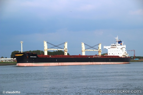
Vessel Engiadina IMO: 9423592, MMSI: 538007861 Bulk Carrier
UTC, -19.94830, 12.23897, course: 162, speed: 10.5
UTC, -20.40442, 12.39935, course: 159, speed: 10.8
2026-01-31 05:30:05 UTC, -20.57178, 12.45720, course: 164, speed: 10.9
Live AIS position:
UTC. 138 nm NW of Henties Bay (Hentiesbaai)),
updated 2026-01-31 05:30:05 UTC.
Find the position of the vessel Engiadina on the map. The latter are known coordinates and path.
marine traffic ship tracker show on live map
The current position of vessel Engiadina is -20.57178 lat / 12.45720 lng. Updated: 2026-01-31 05:30:05 UTCDetails:
Last coordinates of the vessel:
UTC, -19.57006, 12.10724, course: 161, speed: 9.8UTC, -19.94830, 12.23897, course: 162, speed: 10.5
UTC, -20.40442, 12.39935, course: 159, speed: 10.8
2026-01-31 05:30:05 UTC, -20.57178, 12.45720, course: 164, speed: 10.9