vessel Ensco Ds 9 IMO: 9666572, Drilling Ship
vesseltracker.com
Vessel Ensco Ds 9 IMO: 9666572, Drilling Ship
MMSI: 538005375 callsign: V7DE3 size: 38x230

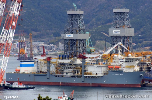
Find the position of the vessel Ensco Ds 9 on the map. The latter are known coordinates and path.

marine traffic ship tracker show on live map

The current position of vessel Ensco Ds 9 is 33.6453 lat / 31.0529 lng. Updated: 2025-02-07 05:37:36 UTC
Payload_mass:
40662 tonne
Gross tonnage:
57335
Service entry:
2015-01-01T00:00:00Z
Details:


Last coordinates of the vessel:
UTC, 33.6453, 31.0529, course: 335, speed: 0.2
2025-02-07 05:37:36 UTC, 33.6453, 31.0529, course: 335, speed: 0.2

Track of the vessel in the last 14 days


Most frequent ports a vessels calls at Ensco Ds 9 (538005375):

Puerto De La Luz, traffic: 14
Las Palmas, traffic: 12
Luanda, traffic: 2
Strait Of Gibraltar, traffic: 1
TANGER MED, traffic: 1
TALIARTE, traffic: 1

Link to the map:


Find another ship

Ensco_Ds_9 (538005375) last ports (portcalls and passsages)

TANGER MED | 2024-11-28 01:41:51
Strait Of Gibraltar | 2024-11-28 01:08:35
Puerto De La Luz | 2024-11-23 07:15:34
Puerto De La Luz | 2024-11-19 05:55:41
TALIARTE | 2024-11-19 04:51:34
Luanda | 2024-11-02 11:58:36
Luanda | 2024-10-29 11:29:23
Puerto De La Luz | 2022-06-14 13:53:33
Puerto De La Luz | 2022-06-10 13:23:29
Puerto De La Luz | 2022-06-05 17:08:19
Puerto De La Luz | 2022-06-01 16:50:44
Puerto De La Luz | 2022-05-28 16:06:21
Puerto De La Luz | 2022-05-24 13:44:13
Puerto De La Luz | 2022-05-20 13:39:15
Las Palmas | 2022-05-11 04:58:48
Puerto De La Luz | 2022-05-06 13:06:09
Puerto De La Luz | 2022-05-02 12:40:51
Puerto De La Luz | 2021-12-01 00:00:58
Puerto De La Luz | 2021-09-30 16:08:34