 vesseltracker.com
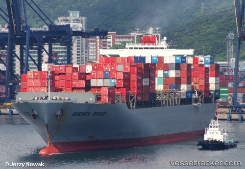
Vessel Ensenada IMO: 9247546, MMSI: 636016106 Container Ship
UTC, -4.22895, -32.85887, course: 130, speed: 14.9
UTC, -4.42355, -32.64128, course: 129, speed: 13
2026-01-31 14:23:58 UTC, -4.89007, -32.14662, course: 132, speed: 12.9
Live AIS position:
UTC. 65 nm S of Fernando De Noronha),
updated 2026-01-31 14:23:58 UTC.
Find the position of the vessel Ensenada on the map. The latter are known coordinates and path.
marine traffic ship tracker show on live map
The current position of vessel Ensenada is -4.89007 lat / -32.14662 lng. Updated: 2026-01-31 14:23:58 UTCDetails:
Last coordinates of the vessel:
UTC, -3.85780, -33.24355, course: 121, speed: 12.8UTC, -4.22895, -32.85887, course: 130, speed: 14.9
UTC, -4.42355, -32.64128, course: 129, speed: 13
2026-01-31 14:23:58 UTC, -4.89007, -32.14662, course: 132, speed: 12.9