 vesseltracker.com
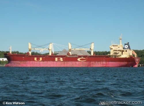
Find the position of the vessel ELVITA R on the map. The latter are known coordinates and path.
marine traffic ship tracker show on live map
The current position of vessel ELVITA R is 21.7028 lat / 111.816 lng. Updated: 2024-04-26 22:34:33 UTCCurrently sailing under the flag of Panama
ELVITA R built in 2009 year
Port of registry:
Majuro (coral atoll, capital of the Marshall Islands)Deadweight:
53428 tPayload_mass:
53428.57 tonneGross tonnage:
31094Service entry:
2009-01-01T00:00:00ZDetails:
Last coordinates of the vessel:
UTC, 21.7028, 111.816, course: 327, speed: 0UTC, 21.7028, 111.816, course: 327, speed: 0
UTC, 21.7028, 111.816, course: 327, speed: 0
2024-04-26 22:34:33 UTC, 21.7028, 111.816, course: 327, speed: 0
Track of the vessel in the last 14 days
The ship also appears on the maps: