 vesseltracker.com
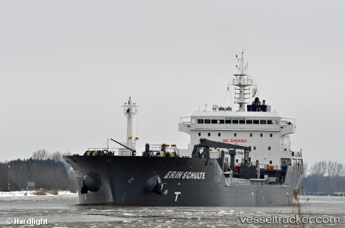
Find the position of the vessel Erin Schulte on the map. The latter are known coordinates and path.
marine traffic ship tracker show on live map
The current position of vessel Erin Schulte is 36.1915 lat / -5.00467 lng. Updated: 2025-07-17 18:09:43 UTCCurrently sailing under the flag of United Kingdom
Erin Schulte built in 2009 year
Deadweight:
16716 tDetails:
Last coordinates of the vessel:
UTC, 36.1906, -5.04206, course: 323, speed: 1UTC, 36.2048, -5.04709, course: 343, speed: 0.3
UTC, 36.2094, -5.0459, course: 334, speed: 0.2
2025-07-17 18:09:43 UTC, 36.1915, -5.00467, course: 134, speed: 5.2