 vesseltracker.com
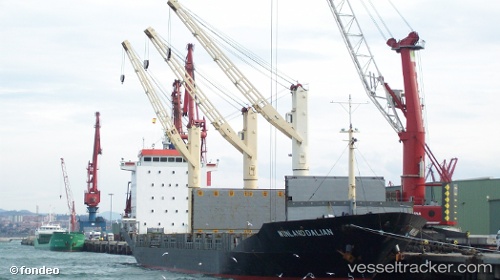
Find the position of the vessel Erin on the map. The latter are known coordinates and path.
marine traffic ship tracker show on live map
The current position of vessel Erin is 14.55922 lat / 120.97321 lng. Updated: 2025-11-06 00:38:07 UTCCurrently sailing under the flag of Belize
Erin built in 1996 year
Deadweight:
12630 tDetails:
Last coordinates of the vessel:
UTC, 14.55921, 120.97321, course: 98, speed: 0UTC, 14.55927, 120.97322, course: 105, speed: 0
UTC, 14.55918, 120.97318, course: 97, speed: 0.1
2025-11-06 00:38:07 UTC, 14.55922, 120.97321, course: 101, speed: 0.1