 vesseltracker.com
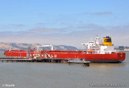
Vessel Eser K IMO: 9431381, MMSI: 215401000 Crude Oil Tanker
UTC, 5.92333, 83.9567, course: -1, speed: 13
UTC, 5.91358, 83.5882, course: 268, speed: 13
2026-03-03 20:22:08 UTC, 5.90513, 83.0628, course: 269, speed: 13
Live AIS position:
UTC. 108 nm E of Konwelana),
updated 2026-03-03 20:22:08 UTC.
Find the position of the vessel Eser K on the map. The latter are known coordinates and path.
marine traffic ship tracker show on live map
The current position of vessel Eser K is 5.90513 lat / 83.0628 lng. Updated: 2026-03-03 20:22:08 UTCCurrently sailing under the flag of Malta
Eser K built in 2010 year
Deadweight:
115830 tDetails:
Last coordinates of the vessel:
UTC, 5.94145, 84.4072, course: 268, speed: 13UTC, 5.92333, 83.9567, course: -1, speed: 13
UTC, 5.91358, 83.5882, course: 268, speed: 13
2026-03-03 20:22:08 UTC, 5.90513, 83.0628, course: 269, speed: 13