 vesseltracker.com
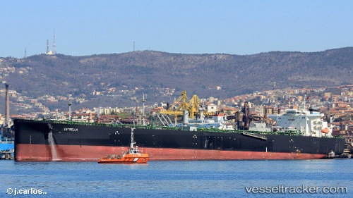
Vessel Estrella IMO: 9696761, MMSI: 311000277 Crude Oil Tanker
UTC, 38.96833, 9.87667, course: -1, speed: 3
UTC, 38.93221, 9.73245, course: 263, speed: 3.1
2026-02-12 10:01:44 UTC, 38.94667, 9.84833, course: -1, speed: 5
Live AIS position:
UTC. 18 nm SE of Cape Carbonara),
updated 2026-02-12 10:01:44 UTC.
Find the position of the vessel Estrella on the map. The latter are known coordinates and path.
marine traffic ship tracker show on live map
The current position of vessel Estrella is 38.94667 lat / 9.84833 lng. Updated: 2026-02-12 10:01:44 UTCCurrently sailing under the flag of Bahamas
Details:
Last coordinates of the vessel:
UTC, 38.98500, 9.92500, course: -1, speed: 2UTC, 38.96833, 9.87667, course: -1, speed: 3
UTC, 38.93221, 9.73245, course: 263, speed: 3.1
2026-02-12 10:01:44 UTC, 38.94667, 9.84833, course: -1, speed: 5