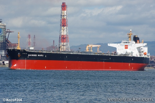
vessel Euroforce IMO: 9251585, Crude Oil Tanker
vesseltracker.com
Vessel Euroforce IMO: 9251585, Crude Oil Tanker
MMSI: 636017917 callsign: D5NI3 size: 243x243

Find the position of the vessel Euroforce on the map. The latter are known coordinates and path.

marine traffic ship tracker show on live map

The current position of vessel Euroforce is -35.191491666667 lat / 22.627448333333 lng. Updated: 2025-09-18 07:47:26 UTC

Currently sailing under the flag of Liberia

Euroforce built in 2002 year

Deadweight:
106361 t

Details:


Last coordinates of the vessel:
UTC, -35.22079, 22.359176666667, course: 84, speed: 10.7
UTC, -35.212935, 22.430103333333, course: 84, speed: 10.5
UTC, -35.193785, 22.602541666667, course: 86, speed: 10.2
2025-09-18 07:47:26 UTC, -35.191491666667, 22.627448333333, course: 86, speed: 10.3

Track of the vessel in the last 14 days


Most frequent ports a vessels calls at Euroforce (636017917):

Altagracia, traffic: 9
Puerto Miranda, traffic: 9
Punta De Piedras, traffic: 4
Amuay, traffic: 4
Las Piedras, traffic: 4
Punta Cardon, traffic: 4
Willemstad, traffic: 1
Chittagong, traffic: 1
Maracaibo, traffic: 1

Link to the map:


Find another ship

Euroforce (636017917) last ports (portcalls and passsages)

Willemstad | 2025-08-18 13:18:02
Punta Cardon | 2025-08-15 23:23:10
Punta De Piedras | 2025-08-15 22:24:46
Amuay | 2025-08-15 18:34:00
Punta Cardon | 2025-08-11 23:15:12
Punta De Piedras | 2025-08-11 22:24:10
Amuay | 2025-08-11 15:27:23
Amuay | 2025-07-26 11:29:26
Maracaibo | 2025-07-25 19:23:40
Puerto Miranda | 2025-07-23 17:06:32
Puerto Miranda | 2025-07-19 16:32:51
Puerto Miranda | 2025-07-15 16:07:16
Puerto Miranda | 2025-07-11 15:39:52
Puerto Miranda | 2025-07-07 15:37:47
Altagracia | 2025-07-03 14:55:57
Puerto Miranda | 2025-06-29 14:24:57
Altagracia | 2025-06-25 14:00:19
Puerto Miranda | 2025-06-21 13:47:30
Punta De Piedras | 2025-06-21 02:55:21
Amuay | 2025-06-21 00:42:33
Chittagong | 2022-01-29 07:23:59