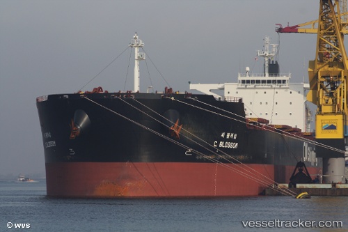
vessel F.sun IMO: 9454333, Bulk Carrier
Vessel F.sun IMO: 9454333, Bulk Carrier
MMSI: 538007210 callsign: V7HQ3 size: 292x292

Find the position of the vessel F.sun on the map. The latter are known coordinates and path.

marine traffic ship tracker show on live map

The current position of vessel F.sun is -28.9191 lat / 32.1326 lng. Updated: 2024-04-25 08:32:59 UTC

Currently sailing under the flag of Marshall Is

F.sun built in 2009 year

Deadweight:
179185 t

Gross tonnage:
93152
Service entry:
2009-01-01T00:00:00Z

Manufacturer:
Hyundai Heavy Industries (company)

Details:


Last coordinates of the vessel:
UTC, -28.919, 32.133, course: 39, speed: 0
UTC, -28.9193, 32.1323, course: 50, speed: 0
UTC, -28.9194, 32.1321, course: 48, speed: 0.1
2024-04-25 08:32:59 UTC, -28.9191, 32.1326, course: 50, speed: 0.2

Track of the vessel in the last 14 days


Most frequent ports a vessels calls at F.sun (538007210):

Victoria, traffic: 5
Tsugaru-Kaikyo, traffic: 4
Yosu, traffic: 4
Yeosu, traffic: 3
Newcastle, traffic: 3
Sambu, traffic: 3
Richards Bay, traffic: 2
Santa Marta, traffic: 1
Selat Sunda, traffic: 1
Singapore, traffic: 1
Sebang, traffic: 1
San Fernando, traffic: 1

Link to the map:


Find another ship

F.sun (538007210) last ports (portcalls and passsages)

Richards Bay | 2024-04-25 07:42:16
Victoria | 2024-02-28 01:33:20
Victoria | 2024-02-15 04:36:37
Yosu | 2024-01-29 15:59:12
Yosu | 2024-01-24 15:46:44
Tsugaru-Kaikyo | 2023-10-04 16:25:47
Victoria | 2023-09-19 14:27:21
Victoria | 2023-09-14 14:48:50
Tsugaru-Kaikyo | 2023-09-01 06:52:59
Sambu | 2023-07-16 13:36:49
Sebang | 2023-07-14 05:49:20
Santa Marta | 2023-05-26 12:29:35
Singapore | 2023-04-18 04:37:18
Sambu | 2022-09-26 16:09:59
Richards Bay | 2022-09-02 04:54:16
Selat Sunda | 2022-08-16 07:29:50
San Fernando | 2022-08-09 04:32:50
Newcastle | 2022-06-19 22:27:31
Victoria | 2022-04-11 18:00:57
Tsugaru-Kaikyo | 2022-02-21 03:55:06
Newcastle | 2022-01-14 19:20:13
Yosu | 2021-12-21 21:15:38