 vesseltracker.com
Find the position of the vessel FEDERAL MAYUMI on the map. The latter are known coordinates and path.
marine traffic ship tracker show on live map
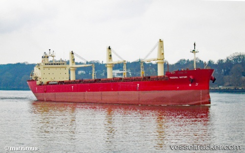
The current position of vessel FEDERAL MAYUMI is 48.00356 lat / -69.644533333333 lng. Updated: 2025-11-05 09:51:59 UTCCurrently sailing under the flag of Marshall Islands
FEDERAL MAYUMI built in 2012 year
Deadweight:
35300 tDetails:
Last coordinates of the vessel:
UTC, 47.457411666667, -70.259203333333, course: 72, speed: 9.7UTC, 47.621285, -70.048246666667, course: 37, speed: 12.4
UTC, 47.82556, -69.81397, course: 32, speed: 14.2
2025-11-05 09:51:59 UTC, 48.00356, -69.644533333333, course: 15, speed: 15.8