 vesseltracker.com
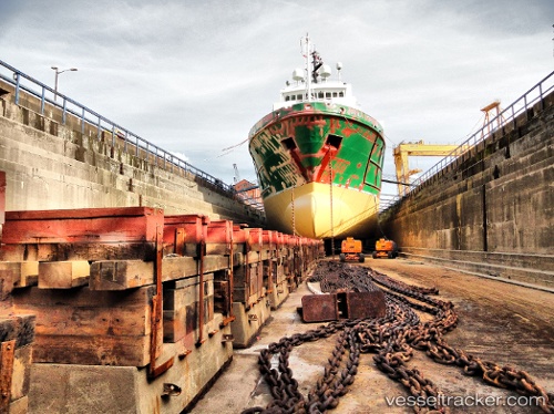
Vessel FORTRESS IMO: 9126455, MMSI: 257507000 Offshore Supply Ship
UTC, 1.29950, 103.69814, course: 92, speed: 0
UTC, 1.29950, 103.69814, course: 91, speed: 0
2026-02-08 19:49:34 UTC, 1.29948, 103.69815, course: 91, speed: 0
Live AIS position:
UTC. Near Pioneer),
updated 2026-02-08 19:49:34 UTC.
Find the position of the vessel FORTRESS on the map. The latter are known coordinates and path.
marine traffic ship tracker show on live map
The current position of vessel FORTRESS is 1.29948 lat / 103.69815 lng. Updated: 2026-02-08 19:49:34 UTCCurrently sailing under the flag of Norway (NIS)
FORTRESS built in 1996 year
Deadweight:
4693 tDetails:
Last coordinates of the vessel:
UTC, 1.29950, 103.69815, course: 92, speed: 0UTC, 1.29950, 103.69814, course: 92, speed: 0
UTC, 1.29950, 103.69814, course: 91, speed: 0
2026-02-08 19:49:34 UTC, 1.29948, 103.69815, course: 91, speed: 0