 vesseltracker.com
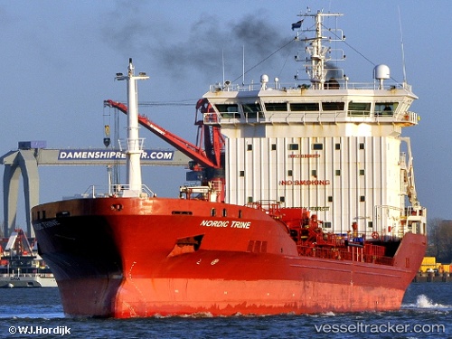
Vessel FORTUNA I IMO: 9388479, MMSI: 205144000 Chemical/Oil Products Tanker
Live AIS position:
UTC. Near Sas-Slijkens),
updated 2025-10-26 10:41:03 UTC.
Find the position of the vessel FORTUNA I on the map. The latter are known coordinates and path.
marine traffic ship tracker show on live map
The current position of vessel FORTUNA I is 51.22499 lat / 2.93703 lng. Updated: 2025-10-26 10:41:03 UTCCurrently sailing under the flag of Belgium
FORTUNA I built in 2007 year
Deadweight:
7915 tDetails:
Last coordinates of the vessel:
2025-10-26 10:41:03 UTC, 51.22499, 2.93703, course: 300, speed: 0