 vesseltracker.com
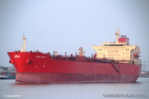
Vessel FOS ENERGY IMO: 9346079, MMSI: 538009637 Chemical/Oil Products Tanker
UTC, 3.23155, 100.50245, course: 303, speed: 12.3
UTC, 3.43098, 100.17785, course: 297, speed: 11.9
2026-02-10 14:06:43 UTC, 3.75213, 99.73518, course: 306, speed: 12.5
Live AIS position:
UTC. 24 nm SW of Pulau Jarak),
updated 2026-02-10 14:06:43 UTC.
Find the position of the vessel FOS ENERGY on the map. The latter are known coordinates and path.
marine traffic ship tracker show on live map
The current position of vessel FOS ENERGY is 3.75213 lat / 99.73518 lng. Updated: 2026-02-10 14:06:43 UTCCurrently sailing under the flag of Marshall Islands
FOS ENERGY built in 2006 year
Deadweight:
45990 tDetails:
Last coordinates of the vessel:
UTC, 3.07427, 100.72602, course: 301, speed: 12.6UTC, 3.23155, 100.50245, course: 303, speed: 12.3
UTC, 3.43098, 100.17785, course: 297, speed: 11.9
2026-02-10 14:06:43 UTC, 3.75213, 99.73518, course: 306, speed: 12.5