 vesseltracker.com
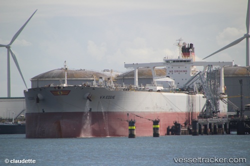
Vessel FPSO ALMIRANTE BARROSO MV32 IMO: 9291274, MMSI: 311000917 Offshore Processing Ship
UTC, -24.59161, -42.56741, course: 183, speed: 0
UTC, -24.59160, -42.56740, course: 183, speed: 0
2026-02-07 14:31:30 UTC, -24.59159, -42.56741, course: -1, speed: 0
Live AIS position:
UTC. 58 nm N of Cidade de Angra dos Reis FPSO),
updated 2026-02-07 14:31:30 UTC.
Find the position of the vessel FPSO ALMIRANTE BARROSO MV32 on the map. The latter are known coordinates and path.
marine traffic ship tracker show on live map
The current position of vessel FPSO ALMIRANTE BARROSO MV32 is -24.59159 lat / -42.56741 lng. Updated: 2026-02-07 14:31:30 UTCCurrently sailing under the flag of Bahamas
FPSO ALMIRANTE BARROSO MV32 built in 2005 year
Deadweight:
242669 tDetails:
Last coordinates of the vessel:
UTC, -24.59161, -42.56740, course: -1, speed: 0UTC, -24.59161, -42.56741, course: 183, speed: 0
UTC, -24.59160, -42.56740, course: 183, speed: 0
2026-02-07 14:31:30 UTC, -24.59159, -42.56741, course: -1, speed: 0