 vesseltracker.com
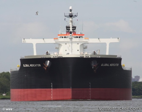
Vessel FREEDOM IMO: 9479216, MMSI: 311000926 Bulk Carrier
UTC, 2.50595, 101.58474, course: 308, speed: 15.1
UTC, 2.76015, 101.13449, course: 296, speed: 13.4
2026-02-06 23:53:39 UTC, 3.07327, 100.76794, course: 312, speed: 12.7
Live AIS position:
UTC. 23 nm SW of Kuala Selangor),
updated 2026-02-06 23:53:39 UTC.
Find the position of the vessel FREEDOM on the map. The latter are known coordinates and path.
marine traffic ship tracker show on live map
The current position of vessel FREEDOM is 3.07327 lat / 100.76794 lng. Updated: 2026-02-06 23:53:39 UTCCurrently sailing under the flag of Bahamas
FREEDOM built in 2011 year
Deadweight:
182205 tDetails:
Last coordinates of the vessel:
UTC, 2.24279, 101.91990, course: 305, speed: 14.1UTC, 2.50595, 101.58474, course: 308, speed: 15.1
UTC, 2.76015, 101.13449, course: 296, speed: 13.4
2026-02-06 23:53:39 UTC, 3.07327, 100.76794, course: 312, speed: 12.7