 vesseltracker.com
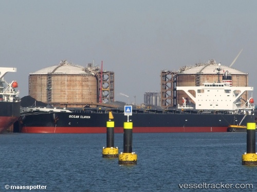
Vessel 636021000 IMO: 9410454, MMSI: 636021000
UTC, -31.15387, 32.66528, course: 252, speed: 11.4
UTC, -31.36833, 32.07500, course: -1, speed: 10
2026-02-05 22:25:05 UTC, -31.49543, 31.70765, course: 256, speed: 9.6
Live AIS position:
UTC. 79 nm SE of Port Shepstone),
updated 2026-02-05 22:25:05 UTC.
Find the position of the vessel 636021000 on the map. The latter are known coordinates and path.
marine traffic ship tracker show on live map
The current position of vessel 636021000 is -31.49543 lat / 31.70765 lng. Updated: 2026-02-05 22:25:05 UTCDetails:
Last coordinates of the vessel:
UTC, -31.03040, 32.98745, course: 246, speed: 11.5UTC, -31.15387, 32.66528, course: 252, speed: 11.4
UTC, -31.36833, 32.07500, course: -1, speed: 10
2026-02-05 22:25:05 UTC, -31.49543, 31.70765, course: 256, speed: 9.6