 vesseltracker.com
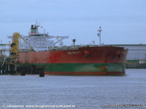
Vessel FULGER IMO: 9326718, MMSI: 667002327 Crude Oil Tanker
UTC, 8.59970, 109.15375, course: 216, speed: 14.9
UTC, 8.31874, 108.87351, course: 220, speed: 15.6
2026-01-28 00:00:37 UTC, 7.90465, 108.49078, course: 217, speed: 15.4
Live AIS position:
UTC. 36 nm S of Dai Hung (Tandem Load)),
updated 2026-01-28 00:00:37 UTC.
Find the position of the vessel FULGER on the map. The latter are known coordinates and path.
marine traffic ship tracker show on live map
The current position of vessel FULGER is 7.90465 lat / 108.49078 lng. Updated: 2026-01-28 00:00:37 UTCCurrently sailing under the flag of Sierra Leone
FULGER built in 2007 year
Deadweight:
158784 tDetails:
Last coordinates of the vessel:
UTC, 8.97667, 109.45833, course: -1, speed: 14UTC, 8.59970, 109.15375, course: 216, speed: 14.9
UTC, 8.31874, 108.87351, course: 220, speed: 15.6
2026-01-28 00:00:37 UTC, 7.90465, 108.49078, course: 217, speed: 15.4