 vesseltracker.com
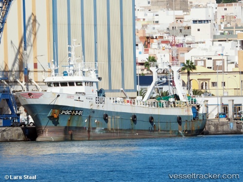
Vessel Farruco IMO: 9241906, MMSI: 224374000 Fishing Vessel
UTC, -39.27057, -53.40249, course: 15, speed: 7.9
UTC, -39.01833, -53.25333, course: -1, speed: 7
2026-02-14 02:00:53 UTC, -38.80833, -53.12333, course: -1, speed: 7
Live AIS position:
UTC. 206 nm SE of Punta Medanos),
updated 2026-02-14 02:00:53 UTC.
Find the position of the vessel Farruco on the map. The latter are known coordinates and path.
marine traffic ship tracker show on live map
The current position of vessel Farruco is -38.80833 lat / -53.12333 lng. Updated: 2026-02-14 02:00:53 UTCDetails:
Last coordinates of the vessel:
UTC, -39.61333, -53.63833, course: -1, speed: 9UTC, -39.27057, -53.40249, course: 15, speed: 7.9
UTC, -39.01833, -53.25333, course: -1, speed: 7
2026-02-14 02:00:53 UTC, -38.80833, -53.12333, course: -1, speed: 7