 vesseltracker.com
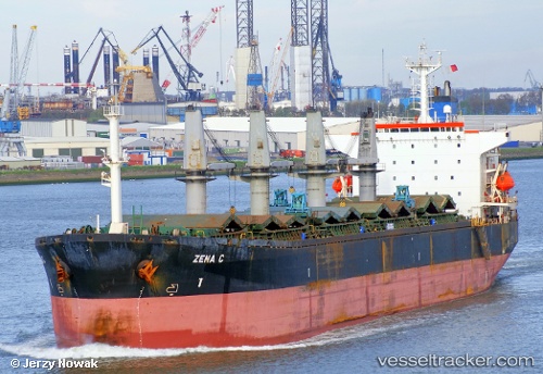
Vessel Fatma Sari IMO: 9087233, MMSI: 271044362 Bulk Carrier
Live AIS position:
UTC. Near Chattogram),
updated 2024-12-12 16:04:42 UTC.
Find the position of the vessel Fatma Sari on the map. The latter are known coordinates and path.
marine traffic ship tracker show on live map
The current position of vessel Fatma Sari is 22.40002 lat / 91.74199 lng. Updated: 2024-12-12 16:04:42 UTCCurrently sailing under the flag of Turkey
Fatma Sari built in 1994 year
Deadweight:
43188 tDetails:
Last coordinates of the vessel:
2024-12-12 16:04:42 UTC, 22.40002, 91.74199, course: 74, speed: 0