 vesseltracker.com
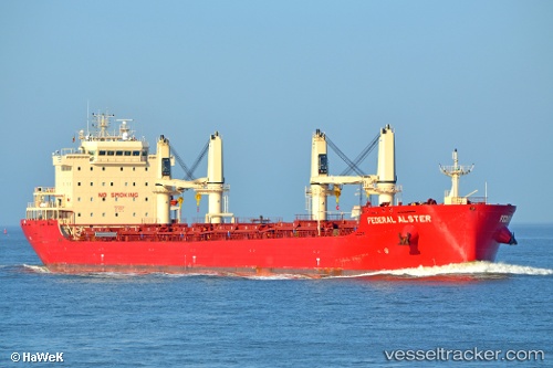
Find the position of the vessel Federal Alster on the map. The latter are known coordinates and path.
marine traffic ship tracker show on live map
The current position of vessel Federal Alster is 53.1933 lat / 4.41167 lng. Updated: 2024-04-26 19:00:49 UTCCurrently sailing under the flag of Marshall Islands
Port of registry:
Majuro (coral atoll, capital of the Marshall Islands)Speed:
14.2 knotPayload_mass:
36583 tonneGross tonnage:
22947Service entry:
2016-01-01T00:00:00ZDetails:
Last coordinates of the vessel:
UTC, 53.5268, 4.62025, course: 200, speed: 8UTC, 53.4833, 4.59667, course: -1, speed: 8
UTC, 53.3283, 4.49833, course: -1, speed: 8
2024-04-26 19:00:49 UTC, 53.1933, 4.41167, course: -1, speed: 8