 vesseltracker.com
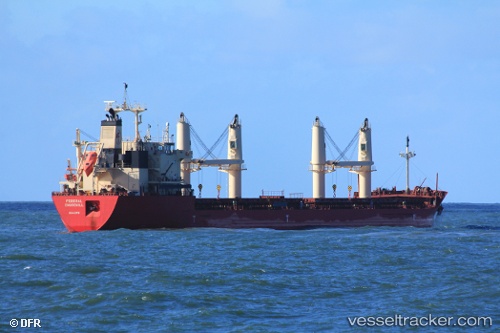
Vessel Federal Churchill IMO: 9671060, MMSI: 538006469 Bulk Carrier
UTC, 44.41667, -11.89848, course: 35, speed: 12.5
UTC, 44.68117, -11.57123, course: 41, speed: 12.4
2026-02-15 01:35:31 UTC, 45.03680, -11.11574, course: 39, speed: 12.3
Live AIS position:
UTC. 123 nm NW of Villanueva de Lorenzana),
updated 2026-02-15 01:35:31 UTC.
Find the position of the vessel Federal Churchill on the map. The latter are known coordinates and path.
marine traffic ship tracker show on live map
The current position of vessel Federal Churchill is 45.03680 lat / -11.11574 lng. Updated: 2026-02-15 01:35:31 UTCCurrently sailing under the flag of Marshall Is
Details:
Last coordinates of the vessel:
UTC, 44.08805, -12.25144, course: 35, speed: 11.5UTC, 44.41667, -11.89848, course: 35, speed: 12.5
UTC, 44.68117, -11.57123, course: 41, speed: 12.4
2026-02-15 01:35:31 UTC, 45.03680, -11.11574, course: 39, speed: 12.3