 vesseltracker.com
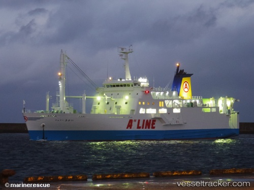
Vessel Ferry Kikai IMO: 9726918, MMSI: 431001070 Passenger Ro Ro Cargo Ship
UTC, 31.36222, 130.66510, course: 340, speed: 19.1
UTC, 31.59425, 130.56653, course: 268, speed: 0
2026-01-31 01:14:11 UTC, 31.59423, 130.56660, course: 268, speed: 0
Live AIS position:
UTC. Near Kagoshima),
updated 2026-01-31 01:14:11 UTC.
Find the position of the vessel Ferry Kikai on the map. The latter are known coordinates and path.
marine traffic ship tracker show on live map
The current position of vessel Ferry Kikai is 31.59423 lat / 130.56660 lng. Updated: 2026-01-31 01:14:11 UTCDetails:
Last coordinates of the vessel:
UTC, 30.93347, 130.55183, course: 18, speed: 18.6UTC, 31.36222, 130.66510, course: 340, speed: 19.1
UTC, 31.59425, 130.56653, course: 268, speed: 0
2026-01-31 01:14:11 UTC, 31.59423, 130.56660, course: 268, speed: 0