 vesseltracker.com
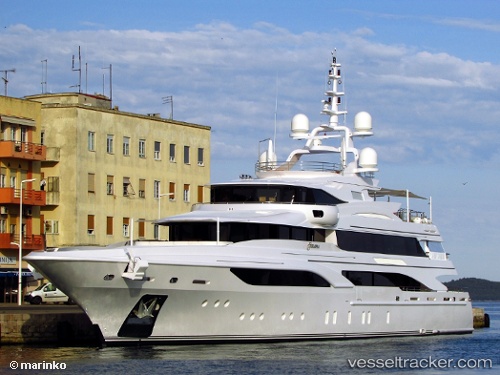
Vessel Formosa IMO: 9668594, MMSI: 319079700 Sailing Vessel
UTC, 26.05900, -80.13583, course: -1, speed: 0.1
UTC, 26.05833, -80.13500, course: -1, speed: 0
2026-02-09 01:16:08 UTC, 26.05900, -80.13583, course: -1, speed: 0
Live AIS position:
UTC. Near Dania Beach),
updated 2026-02-09 01:16:08 UTC.
Find the position of the vessel Formosa on the map. The latter are known coordinates and path.
marine traffic ship tracker show on live map
The current position of vessel Formosa is 26.05900 lat / -80.13583 lng. Updated: 2026-02-09 01:16:08 UTCDetails:
Last coordinates of the vessel:
UTC, 26.05900, -80.13583, course: -1, speed: 0.1UTC, 26.05900, -80.13583, course: -1, speed: 0.1
UTC, 26.05833, -80.13500, course: -1, speed: 0
2026-02-09 01:16:08 UTC, 26.05900, -80.13583, course: -1, speed: 0