 vesseltracker.com
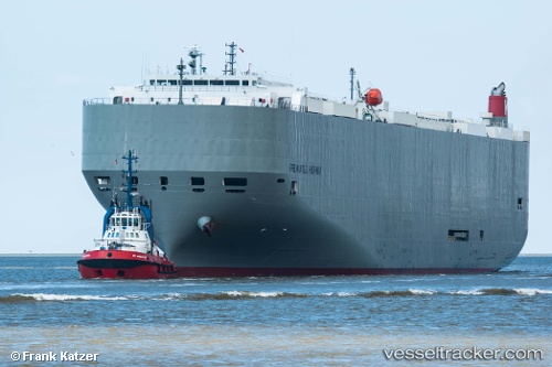
Vessel Fremantle Highway IMO: 9667344, MMSI: 356651000 Vehicles Carrier
Live AIS position:
UTC. 16 nm NE of Terschelling),
updated 2023-07-26 11:12:12 UTC.
Find the position of the vessel Fremantle Highway on the map. The latter are known coordinates and path.
marine traffic ship tracker show on live map
The current position of vessel Fremantle Highway is 53.63631 lat / 5.56395 lng. Updated: 2023-07-26 11:12:12 UTCCurrently sailing under the flag of Panama
Details:
Last coordinates of the vessel:
2023-07-26 11:12:12 UTC, 53.63631, 5.56395, course: 94, speed: 0.1