 vesseltracker.com
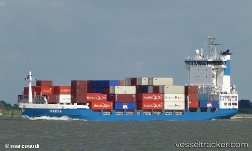
Vessel Freya IMO: 9219874, MMSI: 244180000 Container Ship
UTC, 51.33564, 3.19445, course: 12, speed: 0
UTC, 51.54321, 2.84114, course: 321, speed: 14.3
2026-02-05 19:22:03 UTC, 51.89033, 2.53610, course: 336, speed: 13.8
Live AIS position:
UTC. 21 nm NW of Thorntonbank),
updated 2026-02-05 19:22:03 UTC.
Find the position of the vessel Freya on the map. The latter are known coordinates and path.
marine traffic ship tracker show on live map
The current position of vessel Freya is 51.89033 lat / 2.53610 lng. Updated: 2026-02-05 19:22:03 UTCCurrently sailing under the flag of Netherlands
Freya built in 2000 year
Deadweight:
6850 tDetails:
Last coordinates of the vessel:
UTC, 51.33557, 3.19437, course: 12, speed: 0UTC, 51.33564, 3.19445, course: 12, speed: 0
UTC, 51.54321, 2.84114, course: 321, speed: 14.3
2026-02-05 19:22:03 UTC, 51.89033, 2.53610, course: 336, speed: 13.8