 vesseltracker.com
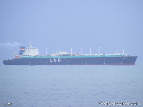
Vessel Fsu Tenaga Satu IMO: 7428457, MMSI: 533189000 Fsru Tanker
Live AIS position:
UTC. Near SUNGAI UDANG),
updated 2026-01-05 08:34:28 UTC.
Find the position of the vessel Fsu Tenaga Satu on the map. The latter are known coordinates and path.
marine traffic ship tracker show on live map
The current position of vessel Fsu Tenaga Satu is 2.25478 lat / 102.10308 lng. Updated: 2026-01-05 08:34:28 UTCDetails:
Last coordinates of the vessel:
2026-01-05 08:34:28 UTC, 2.25478, 102.10308, course: -1, speed: 0