 vesseltracker.com
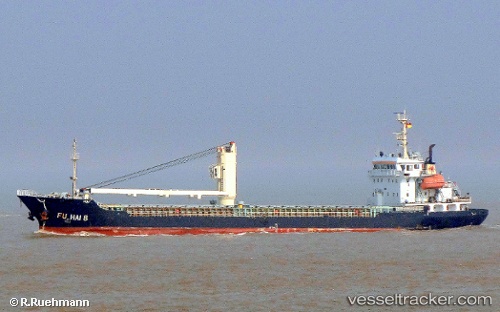
Vessel Fu Hai 8 IMO: 9532111, MMSI: 312506000 General Cargo Ship
UTC, 33.73601, 121.00573, course: 42, speed: 8
UTC, 33.98167, 121.37500, course: -1, speed: 8
2026-01-29 15:23:26 UTC, 33.99833, 121.55167, course: -1, speed: 7
Live AIS position:
UTC. 57 nm NE of DAFENG),
updated 2026-01-29 15:23:26 UTC.
Find the position of the vessel Fu Hai 8 on the map. The latter are known coordinates and path.
marine traffic ship tracker show on live map
The current position of vessel Fu Hai 8 is 33.99833 lat / 121.55167 lng. Updated: 2026-01-29 15:23:26 UTCCurrently sailing under the flag of Belize
Fu Hai 8 built in 2009 year
Deadweight:
3500 tDetails:
Last coordinates of the vessel:
UTC, 33.52890, 120.80868, course: 358, speed: 6.6UTC, 33.73601, 121.00573, course: 42, speed: 8
UTC, 33.98167, 121.37500, course: -1, speed: 8
2026-01-29 15:23:26 UTC, 33.99833, 121.55167, course: -1, speed: 7