 vesseltracker.com
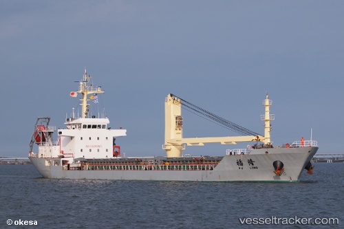
Vessel Fu Long IMO: 9550735, MMSI: 413300930 Bulk Carrier
UTC, 25.22668, 120.42333, course: 12, speed: 6
UTC, 25.43057, 120.47449, course: 15, speed: 6.1
2026-01-30 13:31:53 UTC, 25.63466, 120.52155, course: 6, speed: 6.2
Live AIS position:
UTC. 41 nm NE of Xiaocuo Pt),
updated 2026-01-30 13:31:53 UTC.
Find the position of the vessel Fu Long on the map. The latter are known coordinates and path.
marine traffic ship tracker show on live map
The current position of vessel Fu Long is 25.63466 lat / 120.52155 lng. Updated: 2026-01-30 13:31:53 UTCDetails:
Last coordinates of the vessel:
UTC, 25.01974, 120.39905, course: 11, speed: 6.1UTC, 25.22668, 120.42333, course: 12, speed: 6
UTC, 25.43057, 120.47449, course: 15, speed: 6.1
2026-01-30 13:31:53 UTC, 25.63466, 120.52155, course: 6, speed: 6.2