 vesseltracker.com
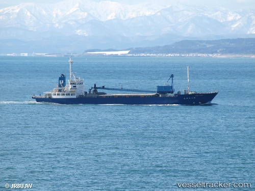
Vessel Fukuwa Maru No.1 IMO: 9136826, MMSI: 431600462 General Cargo Ship
UTC, 34.41060, 137.29523, course: 53, speed: 11.6
UTC, 34.55123, 137.87793, course: 84, speed: 12.7
2026-01-28 06:30:20 UTC, 34.56765, 138.37276, course: 92, speed: 12.3
Live AIS position:
UTC. Near OMAEZAKI),
updated 2026-01-28 06:30:20 UTC.
Find the position of the vessel Fukuwa Maru No.1 on the map. The latter are known coordinates and path.
marine traffic ship tracker show on live map
The current position of vessel Fukuwa Maru No.1 is 34.56765 lat / 138.37276 lng. Updated: 2026-01-28 06:30:20 UTCCurrently sailing under the flag of Japan
Details:
Last coordinates of the vessel:
UTC, 34.20898, 136.91673, course: 62, speed: 11.7UTC, 34.41060, 137.29523, course: 53, speed: 11.6
UTC, 34.55123, 137.87793, course: 84, speed: 12.7
2026-01-28 06:30:20 UTC, 34.56765, 138.37276, course: 92, speed: 12.3