 vesseltracker.com
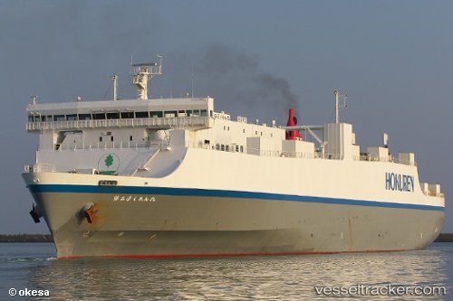
Vessel Fuou Maru IMO: 9367798, MMSI: 431101148 Vehicles Carrier
UTC, 33.78512, 136.43034, course: 232, speed: 19.8
UTC, 33.42363, 135.79347, course: 263, speed: 18.7
2026-01-27 21:52:04 UTC, 33.74694, 135.15547, course: 321, speed: 18.8
Live AIS position:
UTC. Near Gobo Wakayama),
updated 2026-01-27 21:52:04 UTC.
Find the position of the vessel Fuou Maru on the map. The latter are known coordinates and path.
marine traffic ship tracker show on live map
The current position of vessel Fuou Maru is 33.74694 lat / 135.15547 lng. Updated: 2026-01-27 21:52:04 UTCCurrently sailing under the flag of Japan
Details:
Last coordinates of the vessel:
UTC, 34.22957, 137.19031, course: 240, speed: 20.1UTC, 33.78512, 136.43034, course: 232, speed: 19.8
UTC, 33.42363, 135.79347, course: 263, speed: 18.7
2026-01-27 21:52:04 UTC, 33.74694, 135.15547, course: 321, speed: 18.8