 vesseltracker.com
Live AIS position:
5.86585° S, 106.01040° E UTC. Near SURALAYA),
updated 2025-11-21 18:45:58 UTC.
Find the position of the vessel GAS AMARIN JAYA on the map. The latter are known coordinates and path.
marine traffic ship tracker show on live map
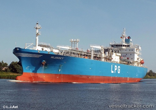
The current position of vessel GAS AMARIN JAYA is -5.86585 lat / 106.01040 lng. Updated: 2025-11-21 18:45:58 UTCCurrently sailing under the flag of Indonesia
GAS AMARIN JAYA built in 2008 year
Deadweight:
16967 tDetails:
Last coordinates of the vessel:
UTC, -5.86572, 106.01027, course: 233, speed: 0UTC, -5.86570, 106.01028, course: 231, speed: 0
UTC, -5.86593, 106.01050, course: 234, speed: 0.4
2025-11-21 18:45:58 UTC, -5.86585, 106.01040, course: 245, speed: 0.2