 vesseltracker.com
Live AIS position:
9.05854° S, 29.85968° W UTC. 303 nm E of Cabo de Santo Agostinho),
updated 2025-11-21 18:39:23 UTC.
Find the position of the vessel GAS CAMELOT on the map. The latter are known coordinates and path.
marine traffic ship tracker show on live map
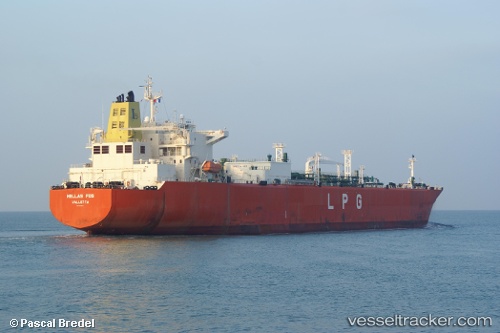
The current position of vessel GAS CAMELOT is -9.05854 lat / -29.85968 lng. Updated: 2025-11-21 18:39:23 UTCCurrently sailing under the flag of Indonesia
GAS CAMELOT built in 2008 year
Deadweight:
54994 tDetails:
Last coordinates of the vessel:
UTC, -8.62500, -30.41667, course: -1, speed: 13UTC, -8.86667, -30.11333, course: -1, speed: 14
UTC, -9.01667, -29.91500, course: -1, speed: 14
2025-11-21 18:39:23 UTC, -9.05854, -29.85968, course: 124, speed: 14.1