 vesseltracker.com
Live AIS position:
2.19876° N, 102.16687° E UTC. Near SUNGAI UDANG),
updated 2025-11-21 18:45:22 UTC.
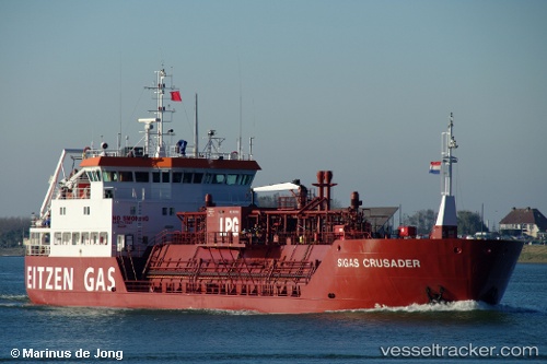
Find the position of the vessel GAS CRUSADER on the map. The latter are known coordinates and path.
marine traffic ship tracker show on live map
The current position of vessel GAS CRUSADER is 2.19876 lat / 102.16687 lng. Updated: 2025-11-21 18:45:22 UTCCurrently sailing under the flag of Malaysia
GAS CRUSADER built in 1996 year
Deadweight:
2347 tDetails:
Last coordinates of the vessel:
UTC, 2.19833, 102.16667, course: -1, speed: 0UTC, 2.19833, 102.16667, course: -1, speed: 0
UTC, 2.19920, 102.16698, course: 103, speed: 0
2025-11-21 18:45:22 UTC, 2.19876, 102.16687, course: 48, speed: 0.1