 vesseltracker.com
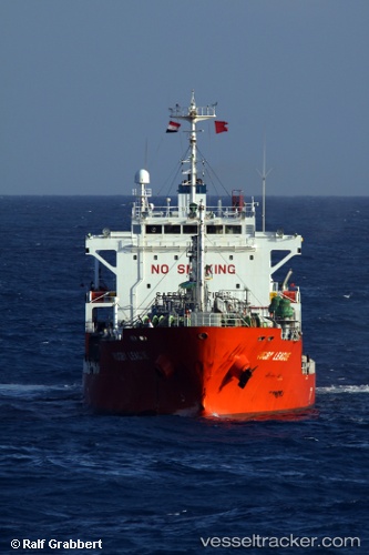
Vessel GAZ AMARIS IMO: 9251183, MMSI: 538009548 LPG Tanker
UTC, 18.34500, -70.83500, course: -1, speed: 0
UTC, 18.32667, -70.83667, course: -1, speed: 5
2026-01-29 14:15:00 UTC, 18.11333, -70.38667, course: -1, speed: 13
Live AIS position:
UTC. Near Las Calderas),
updated 2026-01-29 14:15:00 UTC.
Find the position of the vessel GAZ AMARIS on the map. The latter are known coordinates and path.
marine traffic ship tracker show on live map
The current position of vessel GAZ AMARIS is 18.11333 lat / -70.38667 lng. Updated: 2026-01-29 14:15:00 UTCCurrently sailing under the flag of Marshall Islands
GAZ AMARIS built in 2002 year
Deadweight:
7155 tDetails:
Last coordinates of the vessel:
UTC, 18.34500, -70.83500, course: -1, speed: 0UTC, 18.34500, -70.83500, course: -1, speed: 0
UTC, 18.32667, -70.83667, course: -1, speed: 5
2026-01-29 14:15:00 UTC, 18.11333, -70.38667, course: -1, speed: 13