 vesseltracker.com
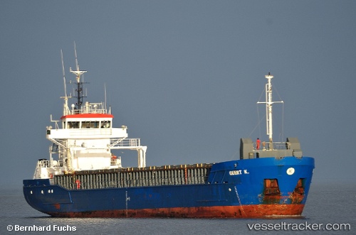
Vessel GEERT IMO: 9195705, MMSI: 314668000 General Cargo Ship
UTC, 40.28055, -9.72571, course: 224, speed: 7
UTC, 40.10207, -9.87651, course: 217, speed: 6.3
2026-01-29 20:16:55 UTC, 39.80117, -9.97995, course: 204, speed: 7.6
Live AIS position:
UTC. 39 nm NW of PENICHE),
updated 2026-01-29 20:16:55 UTC.
Find the position of the vessel GEERT on the map. The latter are known coordinates and path.
marine traffic ship tracker show on live map
The current position of vessel GEERT is 39.80117 lat / -9.97995 lng. Updated: 2026-01-29 20:16:55 UTCCurrently sailing under the flag of Barbados
GEERT built in 2001 year
Deadweight:
3785 tDetails:
Last coordinates of the vessel:
UTC, 40.41912, -9.62626, course: 219, speed: 7.4UTC, 40.28055, -9.72571, course: 224, speed: 7
UTC, 40.10207, -9.87651, course: 217, speed: 6.3
2026-01-29 20:16:55 UTC, 39.80117, -9.97995, course: 204, speed: 7.6