 vesseltracker.com
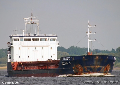
Find the position of the vessel GELMOND 1 on the map. The latter are known coordinates and path.
marine traffic ship tracker show on live map
The current position of vessel GELMOND 1 is 36.42034 lat / 22.83053 lng. Updated: 2025-10-28 15:06:19 UTCCurrently sailing under the flag of St Kitts Nevis
GELMOND 1 built in 2007 year
Deadweight:
3510 tDetails:
Last coordinates of the vessel:
UTC, 36.42229, 23.07402, course: 281, speed: 7.3UTC, 36.42229, 23.07402, course: 281, speed: 7.3
UTC, 36.42034, 22.83053, course: 256, speed: 7.4
2025-10-28 15:06:19 UTC, 36.42034, 22.83053, course: 256, speed: 7.4