 vesseltracker.com
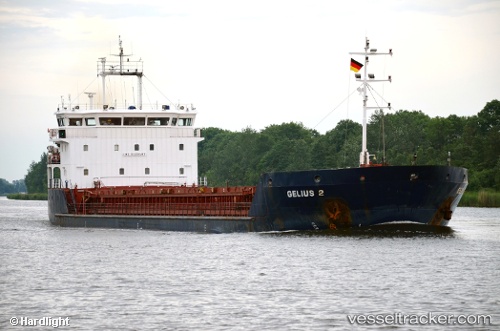
Find the position of the vessel Gelmond 2 on the map. The latter are known coordinates and path.
marine traffic ship tracker show on live map
The current position of vessel Gelmond 2 is 36.58167 lat / 13.52500 lng. Updated: 2025-10-29 02:36:11 UTCCurrently sailing under the flag of Saint Kitts and Nevis
Details:
Last coordinates of the vessel:
UTC, 36.70667, 13.10333, course: -1, speed: 7UTC, 36.66167, 13.24167, course: -1, speed: 7
UTC, 36.62433, 13.35142, course: 112, speed: 7.3
2025-10-29 02:36:11 UTC, 36.58167, 13.52500, course: -1, speed: 7