 vesseltracker.com
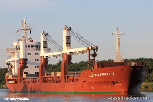
Vessel GEORGY SEDOV IMO: 8811950, MMSI: 273380850 Multi Purpose Carrier
UTC, 42.82825, 132.93236, course: -1, speed: 0.1
UTC, 42.82825, 132.93236, course: -1, speed: 0.1
2026-03-17 05:05:45 UTC, 42.82825, 132.93236, course: -1, speed: 0.1
Live Vessel GEORGY SEDOV Analytics (details, animations, etc.)
Live AIS position: UTC. Near Nakhodka), updated 2026-03-17 05:05:45 UTC.Find the position of the vessel GEORGY SEDOV on the map. The latter are known coordinates and path.
marine traffic ship tracker show on live map
The current position of vessel GEORGY SEDOV is 42.82825 lat / 132.93236 lng. Updated: 2026-03-17 05:05:45 UTCCurrently sailing under the flag of Russia
GEORGY SEDOV built in 1991 year
Deadweight:
12239 tDetails:
Last coordinates of the vessel:
UTC, 42.82809, 132.93237, course: -1, speed: 0UTC, 42.82825, 132.93236, course: -1, speed: 0.1
UTC, 42.82825, 132.93236, course: -1, speed: 0.1
2026-03-17 05:05:45 UTC, 42.82825, 132.93236, course: -1, speed: 0.1