 vesseltracker.com
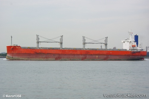
Vessel 'GLOBE CLEOPATRA' IMO: 9403085, MMSI: 538008682
UTC, 29.94204, -90.31016, course: 229, speed: 0
UTC, 29.94202, -90.31020, course: 229, speed: 0
2026-02-01 08:10:39 UTC, 29.94204, -90.31015, course: 229, speed: 0
Live AIS position:
UTC. Near Saint Rose),
updated 2026-02-01 08:10:39 UTC.
Find the position of the vessel 'GLOBE CLEOPATRA' on the map. The latter are known coordinates and path.
marine traffic ship tracker show on live map
The current position of vessel 'GLOBE CLEOPATRA' is 29.94204 lat / -90.31015 lng. Updated: 2026-02-01 08:10:39 UTCDetails:
Last coordinates of the vessel:
UTC, 29.94208, -90.31017, course: 229, speed: 0UTC, 29.94204, -90.31016, course: 229, speed: 0
UTC, 29.94202, -90.31020, course: 229, speed: 0
2026-02-01 08:10:39 UTC, 29.94204, -90.31015, course: 229, speed: 0