 vesseltracker.com
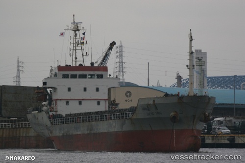
Vessel GLORY STAR IMO: 9376189, MMSI: 440040000
Live AIS position:
UTC. Near Busan),
updated 2025-11-25 04:31:18 UTC.
Find the position of the vessel GLORY STAR on the map. The latter are known coordinates and path.
marine traffic ship tracker show on live map
The current position of vessel GLORY STAR is 35.09692 lat / 129.04639 lng. Updated: 2025-11-25 04:31:18 UTCDetails:
Last coordinates of the vessel:
2025-11-25 04:31:18 UTC, 35.09692, 129.04639, course: -1, speed: 0