 vesseltracker.com
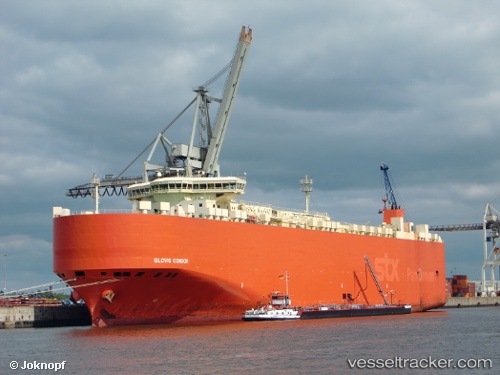
Vessel GLOVIS CONDOR IMO: 9414876, MMSI: 441344000
UTC, 36.48492, 131.25031, course: 231, speed: 13.5
UTC, 36.44459, 131.19923, course: 231, speed: 13.3
UTC, 35.74816, 130.43558, course: 225, speed: 14.4
UTC, 35.24820, 129.79880, course: 229, speed: 14.8
2026-01-23 23:35:49 UTC, 34.84283, 129.36664, course: 237, speed: 14.6
Live AIS position:
UTC. 13 nm NW of HITAKATSU),
updated 2026-01-23 23:35:49 UTC.
Find the position of the vessel GLOVIS CONDOR on the map. The latter are known coordinates and path.
marine traffic ship tracker show on live map
The current position of vessel GLOVIS CONDOR is 34.84283 lat / 129.36664 lng. Updated: 2026-01-23 23:35:49 UTCDetails:
Last coordinates of the vessel:
UTC, 36.51444, 131.28716, course: 231, speed: 13.6UTC, 36.48492, 131.25031, course: 231, speed: 13.5
UTC, 36.44459, 131.19923, course: 231, speed: 13.3
UTC, 35.74816, 130.43558, course: 225, speed: 14.4
UTC, 35.24820, 129.79880, course: 229, speed: 14.8
2026-01-23 23:35:49 UTC, 34.84283, 129.36664, course: 237, speed: 14.6